ISLAND: THE SEA FRONT
       
     
St Leonards.jpg
       
     
3Brighton.jpg
       
     
ISLAND2.jpg
       
     
ISLAND3.jpg
       
     
Port Oer.jpg
       
     
ISLAND4.jpg
       
     
ISLAND5.jpg
       
     
ISLAND7.jpg
       
     
Slain's Castle.jpg
       
     
ISLAND9.jpg
       
     
ISLAND8.jpg
       
     
ISLAND11.jpg
       
     
ISLAND10.jpg
       
     
MapIslandTheSeaFront_YP.jpg
       
     
IslandInstallation2_72.jpg
       
     
ISLAND: THE SEA FRONT
       
     
ISLAND: THE SEA FRONT

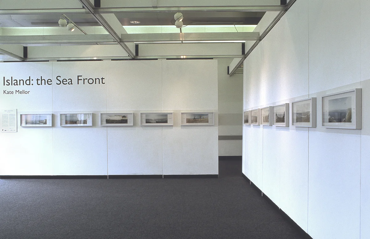
Kate began the project Island: The Sea Front in 1989 when Britain began building the Channel Tunnel. The construction work was accompanied by consideration of Britain's identity, of the legacy of an imperialist past, the residual insularity of the island. This work looks at the connections between geography and history and cultural constructions of the land and explores the way photography and cartography have been used to define territory.

Using a Widelux panoramic camera and locating the vantage points on a formula based on the Grid Reference system (a method of orientation which has its roots in military charts) Kate photographed the coastline always looking out towards the horizon, a line which runs centrally through the whole series of 48 images.

A book, published by Dewi Lewis in 1995 is available at www.foldworks.org.

St Leonards.jpg
       
     
3Brighton.jpg
       
     
ISLAND2.jpg
       
     
ISLAND3.jpg
       
     
Port Oer.jpg
       
     
ISLAND4.jpg
       
     
ISLAND5.jpg
       
     
ISLAND7.jpg
       
     
Slain's Castle.jpg
       
     
ISLAND9.jpg
       
     
ISLAND8.jpg
       
     
ISLAND11.jpg
       
     
ISLAND10.jpg
       
     
MapIslandTheSeaFront_YP.jpg
       
     
IslandInstallation2_72.jpg